Raiva Raiva Iartol Raodteil Tek&ie
Sculpting a Single-Terrain World Map

Here is my first devlog on Iartol.
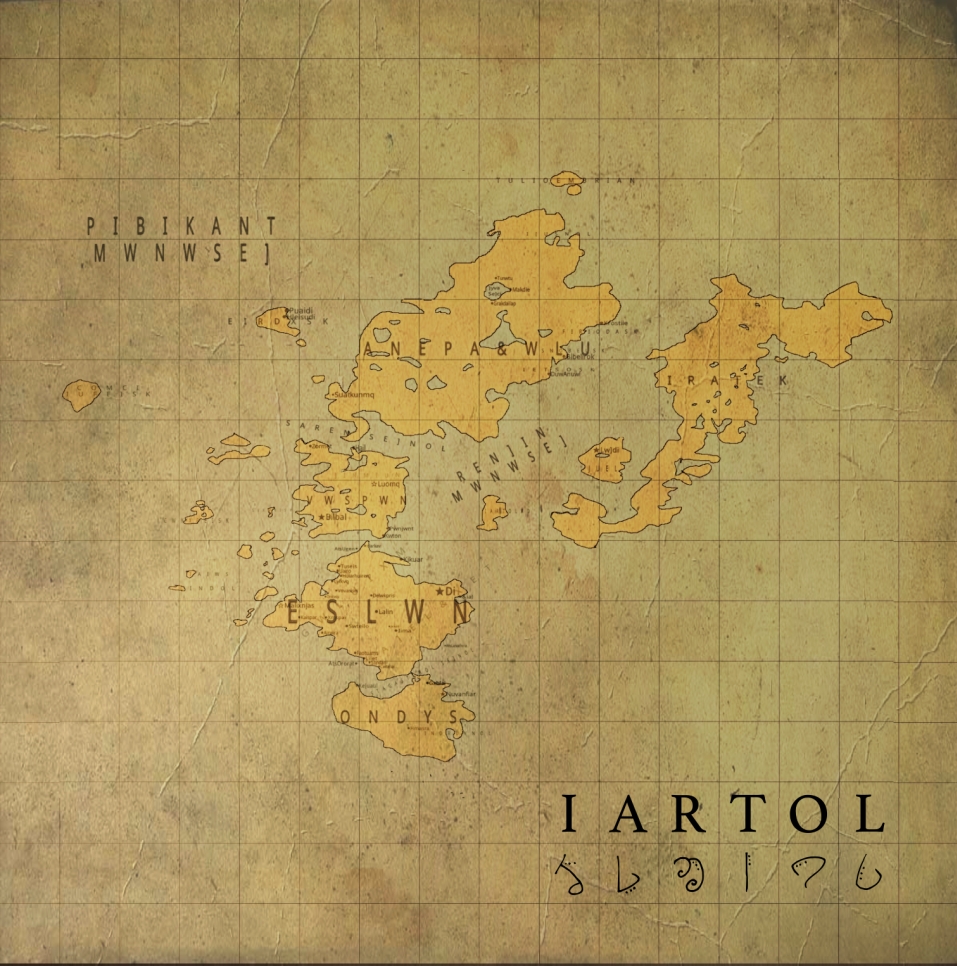
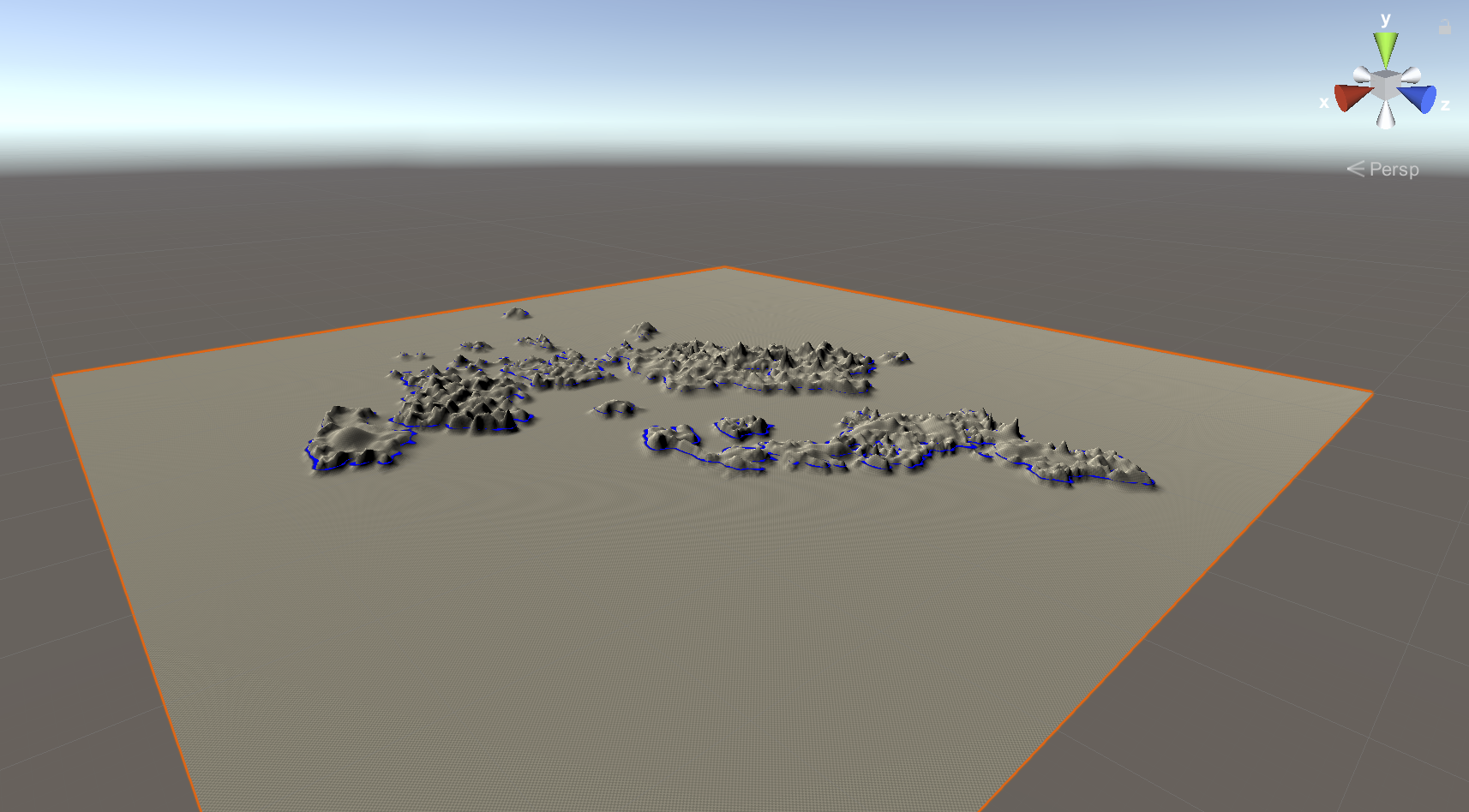
I have been developing this world for many years (14+) but the first 3d renderings of the world in Unity have really only been started in the past year or so. I've taken many screenshots of this process, and the first ones I will upload show the sculpting phase of a 1-terrain version of Iartol, plotted and sculpted from the original Iartol political map, which can be seen in the banner for the game in general.
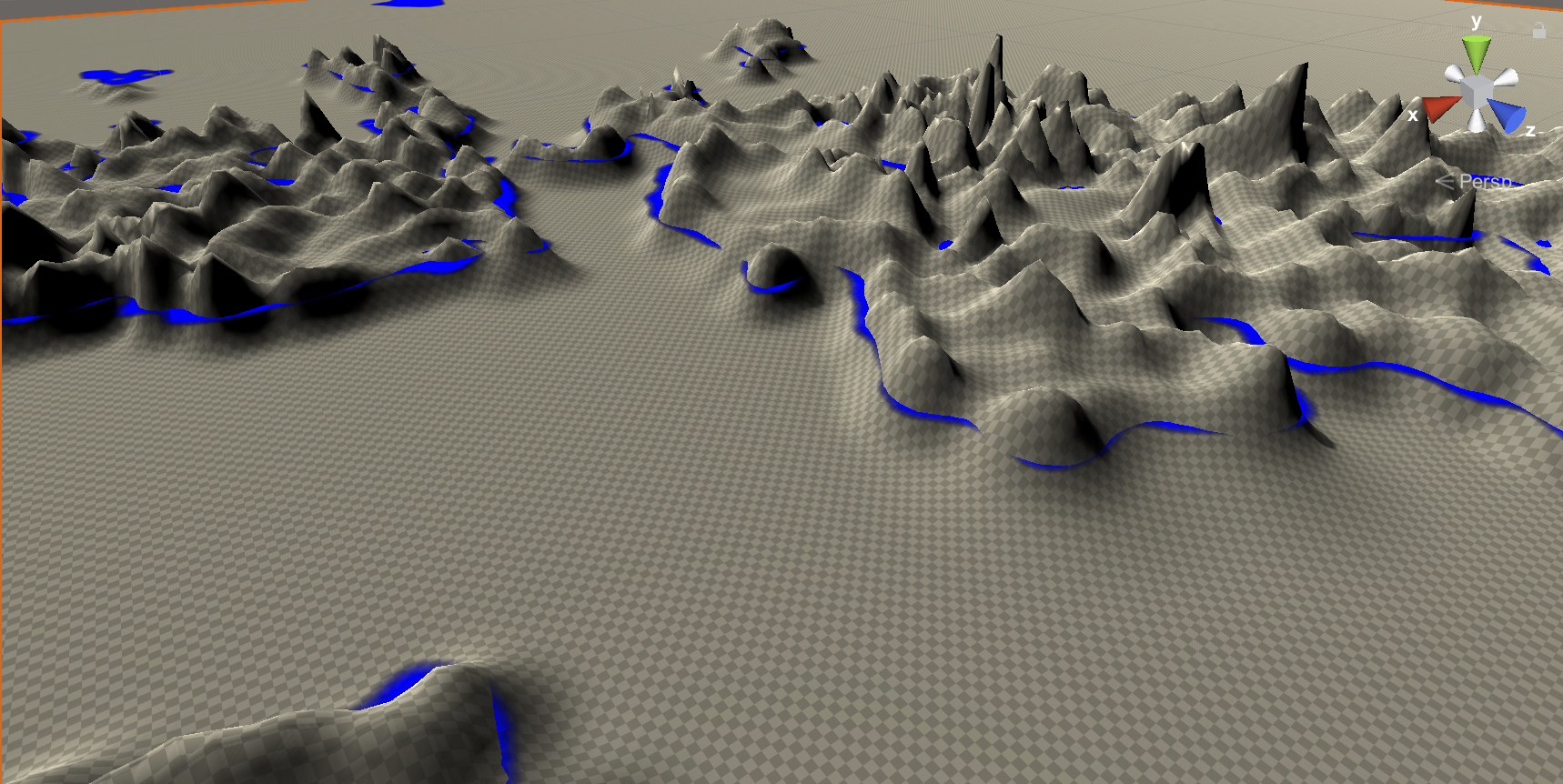
The blue layer that can be seen mid-terrain is a guideline made from the political map.
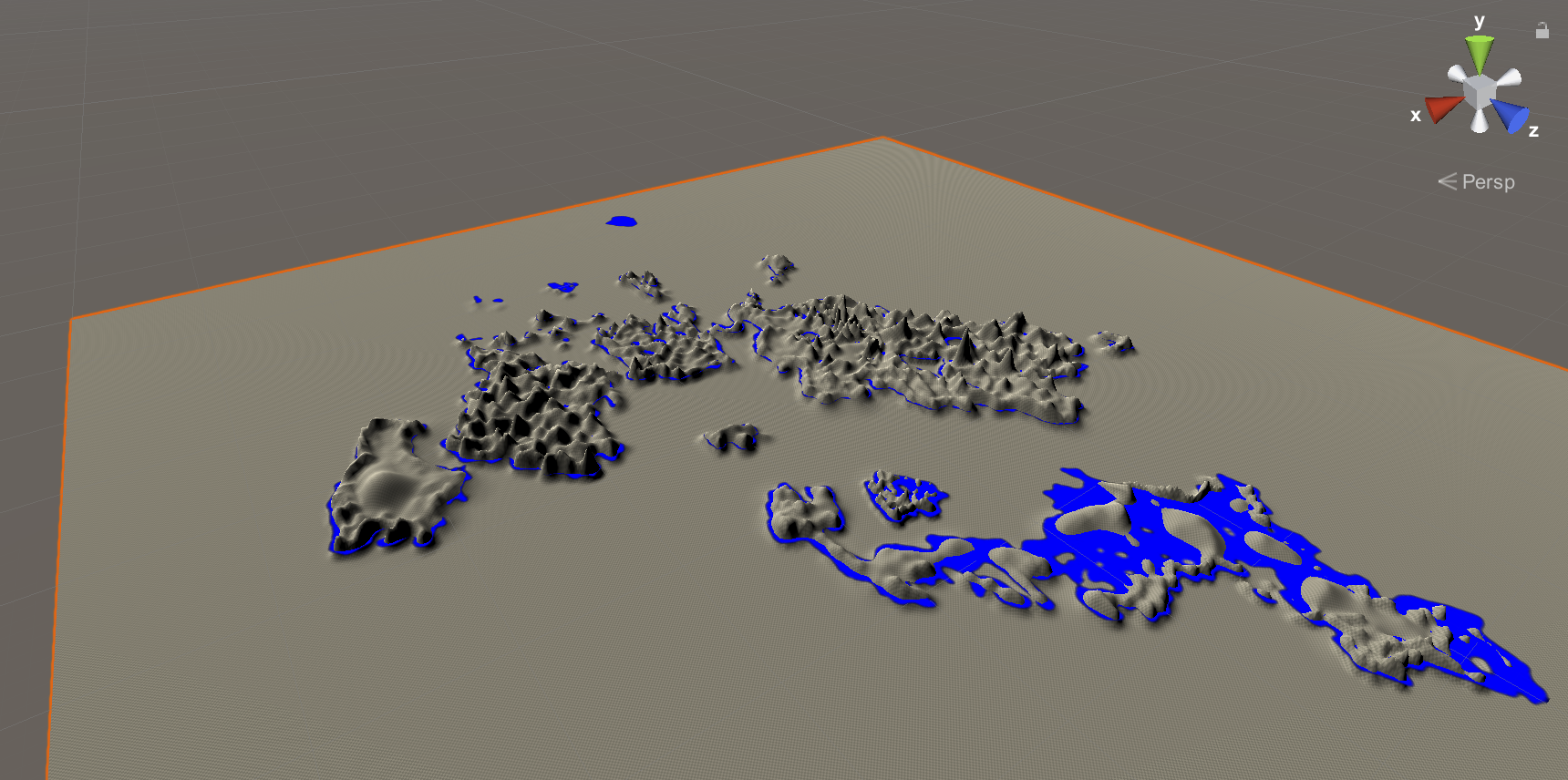
I decided to start with a single terrain even though I imagine the world being much bigger than that. I wanted to start small to see how sculpting from a guide map would work in the first place. I was pleasantly surprised at the results.
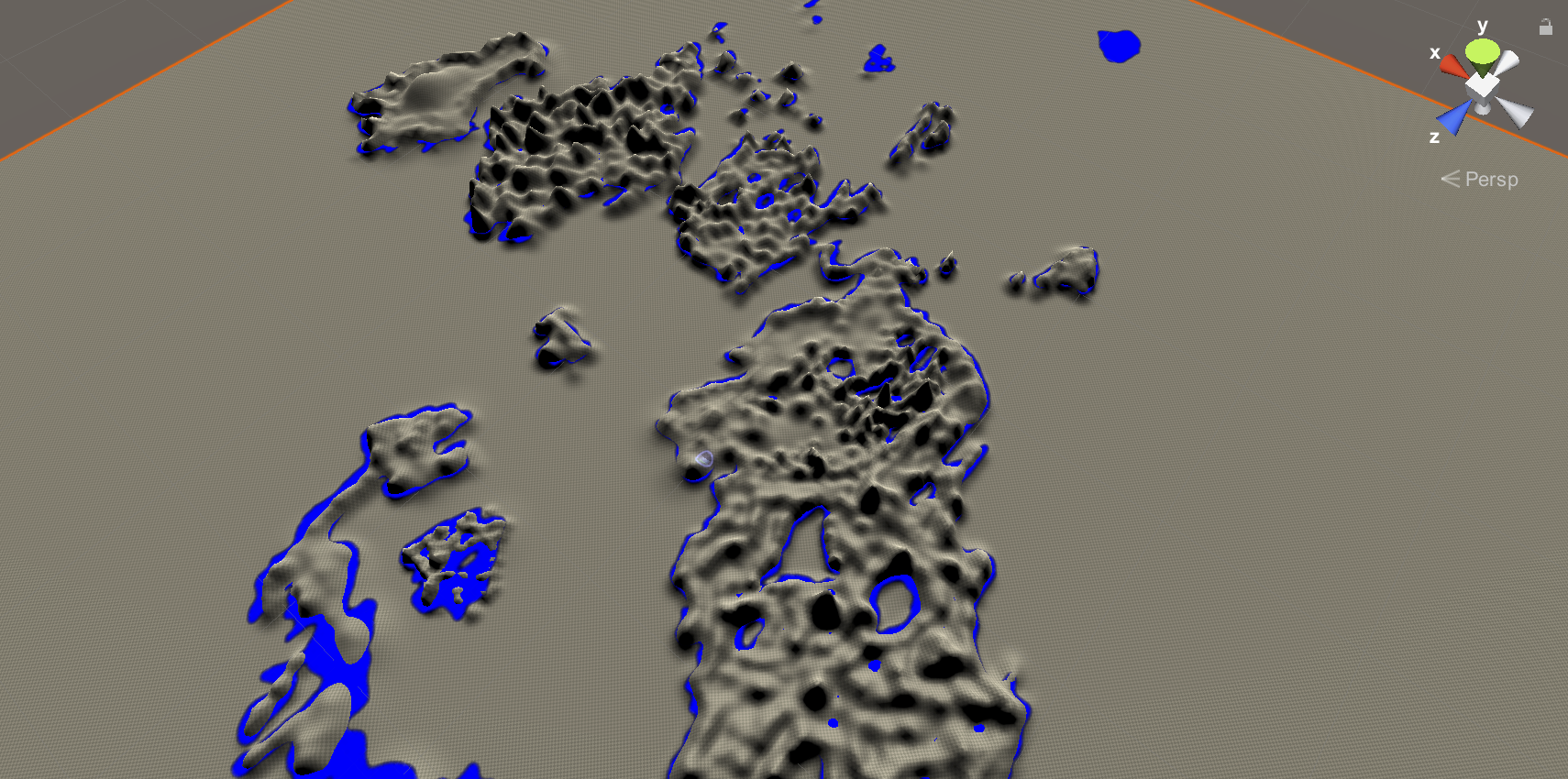
I have been familiar with the islands of the Iartol archipelago for years, yet this is the first time I had ever seen them rendered in 3d. It was quite a breakthrough for me.
There are a number of complaints people have about the Unity terrain system, however I find it to be an excellent tool, especially for game designers with an artistic bent, like myself. Landscapes can be quickly formed, even before having textures added, to make very aesthetically-pleasing environments with working mesh renderers and colliders that interact perfectly with standard character controllers and the native Unity physics system.

Once this step was done, I already had a visual of the world map that could be interacted with in 3d.
Leave a comment
Log in with itch.io to leave a comment.