Raiva Raiva Iartol Raodteil Tek&ie
Political/Physical Map
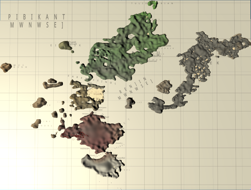
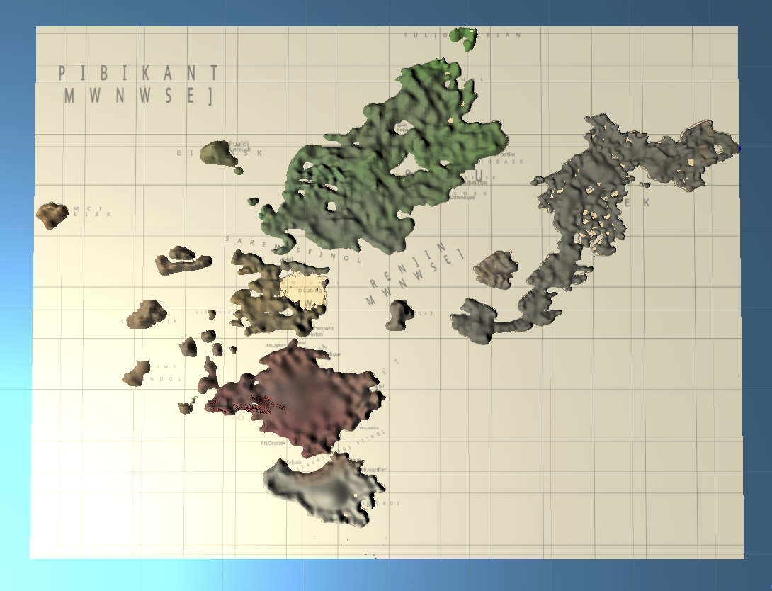
The next thing I did was to add the original political map back on top of the world I had just sculpted. You can see the grids are a little off, and it's a little messy here. But it was very cool to see. The map was placed at or near the water level created in the last step, and there became a visualization that was half-political half-physical. It was now a bumpy political map of Iartol.
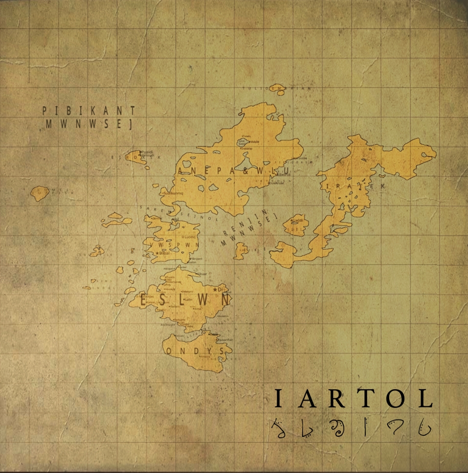
The original political map used here was actually created at least five years ago, and I have a large version of it printed, glued to cardboard, and clamped to the wall of my bedroom at my parents' house. I think that was a very good piece of visual management, since it kept the world map in mind for many years.
The continental island of Vwspwn (in yellow) is viewed partially-sculpted here. Vwspwn is an atoll, which exists half-underwater. I've been working on getting that aspect of it right for a while now - still working on how it exactly turns out when rendered.
BONUS:
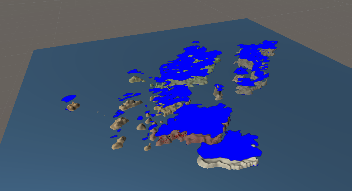
Seen below is the blue guide made from the political map that was used earlier on, raised above the tops of the continents. All in all, sculpting a basic single-terrain world map from an existing political map was quite easy. I kind of wish I would have been creating something like this years ago. But like I said, I wasn't working with game engines.
Leave a comment
Log in with itch.io to leave a comment.